New Mexico Tour, Day 6
At last I had arrived at the goal of this trip, the Carson National Forest in New Mexico. Just outside on Angle Fire, NM, I had identified a remote forest road reputed to have really nice dispersed camping. Dispersed camping is at-large camping in the National Forest outside of designated campgrounds. No fees or reservations required, you simply pull off the forest road and set up camp. In practical terms, these campsites are well-established by frequent use. Look for the well-worn tire tracks from the forest road. You will typically find a nice parking spot, a fire ring, a comfortable log to sit on and maybe even some leftover wood from the previous camper. Dispersed camping appeals to the self-sufficient because you won't find amenities such as water, toilets or garbage cans.
I turned off US-64 and onto Forest Rd 5 -- a dead-end valley with an elevation of 9,000 feet. Yes, there were a lot of nice campsites here along a pretty mountain creek! I skipped past the first few open campsites so as to avoid getting crowded by late arrivals and found a perfect spot for my minivan bubble.
 |
| Dispersed camping, Carson National Forest |
The valley was in shadow when I arrived, but the leaves of the aspens on the upper slopes glowed yellow in the last afternoon sun.
 |
| Future album cover art |
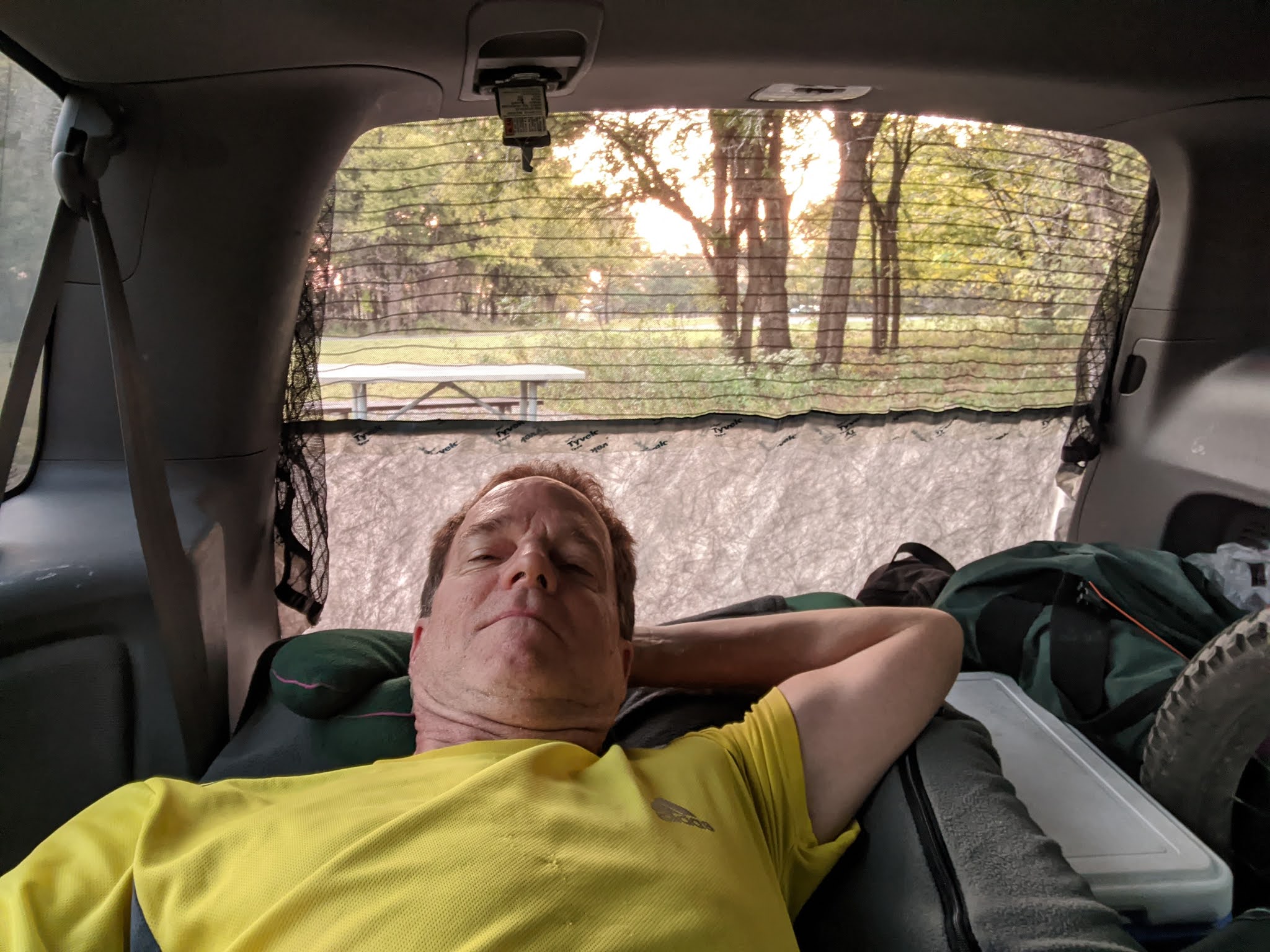
Despite the higher elevation, the air temperature didn't seem as cold as the rim of Palo Duro Canyon. I wasn't worried either way as I crawled into my new double sleeping bag arrangement. "Best $20 I ever spent."
 |
Climbing the forest road
|
In the morning I woke to another day of fantastic fall weather. I drove a quick five miles to Forest Road 437. My eventual goal was the famous South Boundary Trail, but to get to the trailhead I needed to climb 1,600 feet. My research indicated that the FR 437 was only passable by high-clearance vehicles, so I parked the Family Truckster on the shoulder and started the slow grind uphill. Later I was passed by a sedan so it might have been doable in the minivan, but the forest road was well packed and the views were spectacular.
 |
Fall in the New Mexico's Fernando Mountains
|
 |
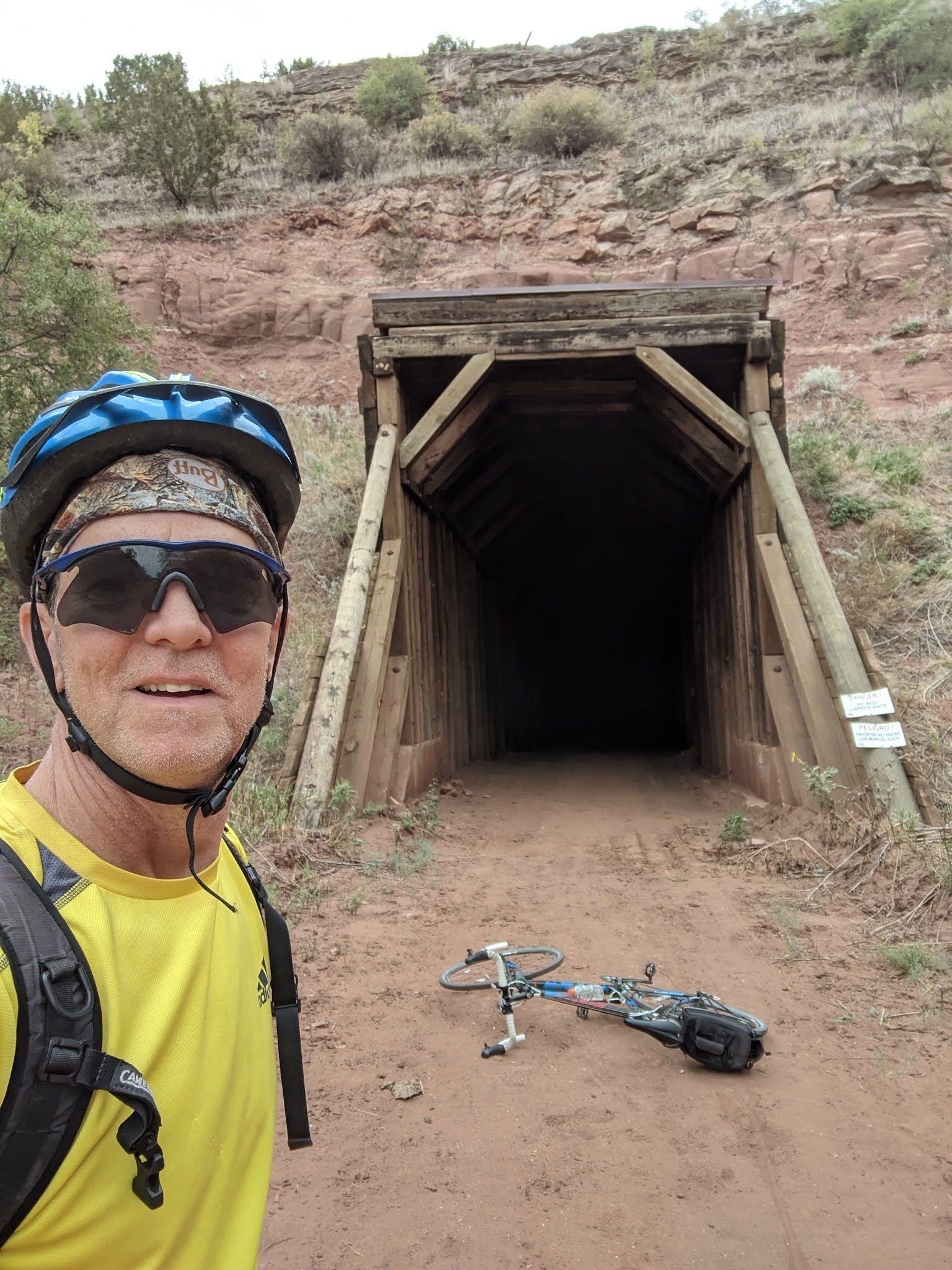
| South Boundary Trail |
After an hour or so of climbing, I arrived at "Heaven on Earth" -- the name for this segment of the South Boundary Trail. The singletrack trail did not disappoint -- flowy and tight gliding through the aspens and pine trees.
 |
The perfect spot for lunch
|
 |
"Heaven on Earth"
|
My planned route turned out to be enormously ambitious. I had mapped out a loop to the top of Osha Pass and then down FR 70 to the van. Halfway across the South Boundary Trail I realized that this route would be very difficult and very risky because at some point you will be committed to finishing the loop regardless difficulty. Getting lost in Carson National Forest at 10,000 feet in the autumn did not seem a risk I should take. Instead I turned around and headed back the way I came. Regardless, the ride was the highlight of the trip and well worth the effort to get here.
 |
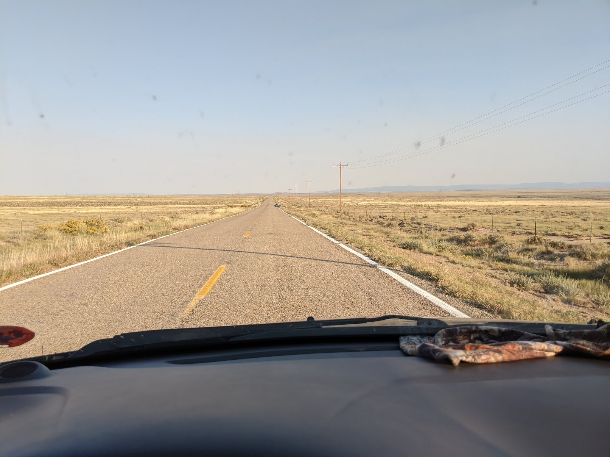
Eastern Colorado makes Nebraska look like Times Square
|
I drove out of the mountains through Cimarron Canyon on the Enchanted Circle Scenic Byway. Sadly I did not have time stop and soon I was eastbound on US-160 and gazing at Colorado's remote eastern high plains. Since leaving the interstate in Trinidad, CO, the infrequent cars had dwindled to nothing. I was now totally alone. I checked my gas gauge. "Do I have enough gas?" I considered turning back the safety of the interstate. "No, just keep going. There's gotta be gas station eventually!"
I spied my first Pronghorn Antelope peering over the barbed-wire fence that bordered the road. A while later, I watched another Pronghorn gracefully jump the fence, cross the highway and effortlessly jump the fence on the far side. "Cool!"
Aside from a filling station, I had no destination in mind. After living in the van for six days, a hot shower and soft bed was pretty appealing. But endless landscape was mesmerizing. "I wish I could find a place to camp here," I thought. I studied the gravel roads that intersected with the highway. They had cattle crossings, the open grates across the road, and signage with a ranch name.
"Are these public roads?" I wondered. I didn't want to blindly wander down a road and meet an angry rancher with a long gun. Indecisive, I just kept going. In retrospect, I made a mistake as I unknowingly drove right past the Comanche National Grassland, arg!
After 120 miles of nothing, I found a gas station in Springfield, CO where I got enough fuel to get me to a hot shower and soft bed in Dodge City, KS.
 |
Route: Carson National Forest
|
|
State:
|
New Mexico
|
|
Date:
|
2020-09-30
|
|
Route:
|
Vale Escondido, FR 437 and SBT 164 (about half of "Heaven on Earth")
|
|
Distance:
|
22 miles
|