Getting lost is not easy in today's GPS-tracked navigation-enabled world. It wasn't always this way. Years ago getting lost was a normal occurrence and to find one's way often required asking directions from the locals.
"Keep going, you can't miss it."
"You can't get there from here."
"If you leave the paved road, you've gone too far."
When I worked in a gas station, providing directions to lost travelers was an expected service. We even had a street-level map on the wall to give detailed answers. The most common question was "Where's the post office?"
"See that building directly across the street," I'd answer with a bit of a grin. The driver would then sheepishly thank me realizing they'd given up searching a moment too soon.
 |
| Tree along the nearby Illinois River |
While today's effortless navigation is a great convenience, we've "lost" something by always knowing where we are. Our forbearers navigated over oceans, down rivers and across prairies guided only by the sun, stars and a bit of luck. When they got lost, they weren't really lost. They were simply exploring!
I have always been in awe of the great explorers: Captain Cook, Ernest Shackleton, Clark Griswold and wanted to follow their example. But how? The world has been thoroughly mapped, indexed and cataloged.
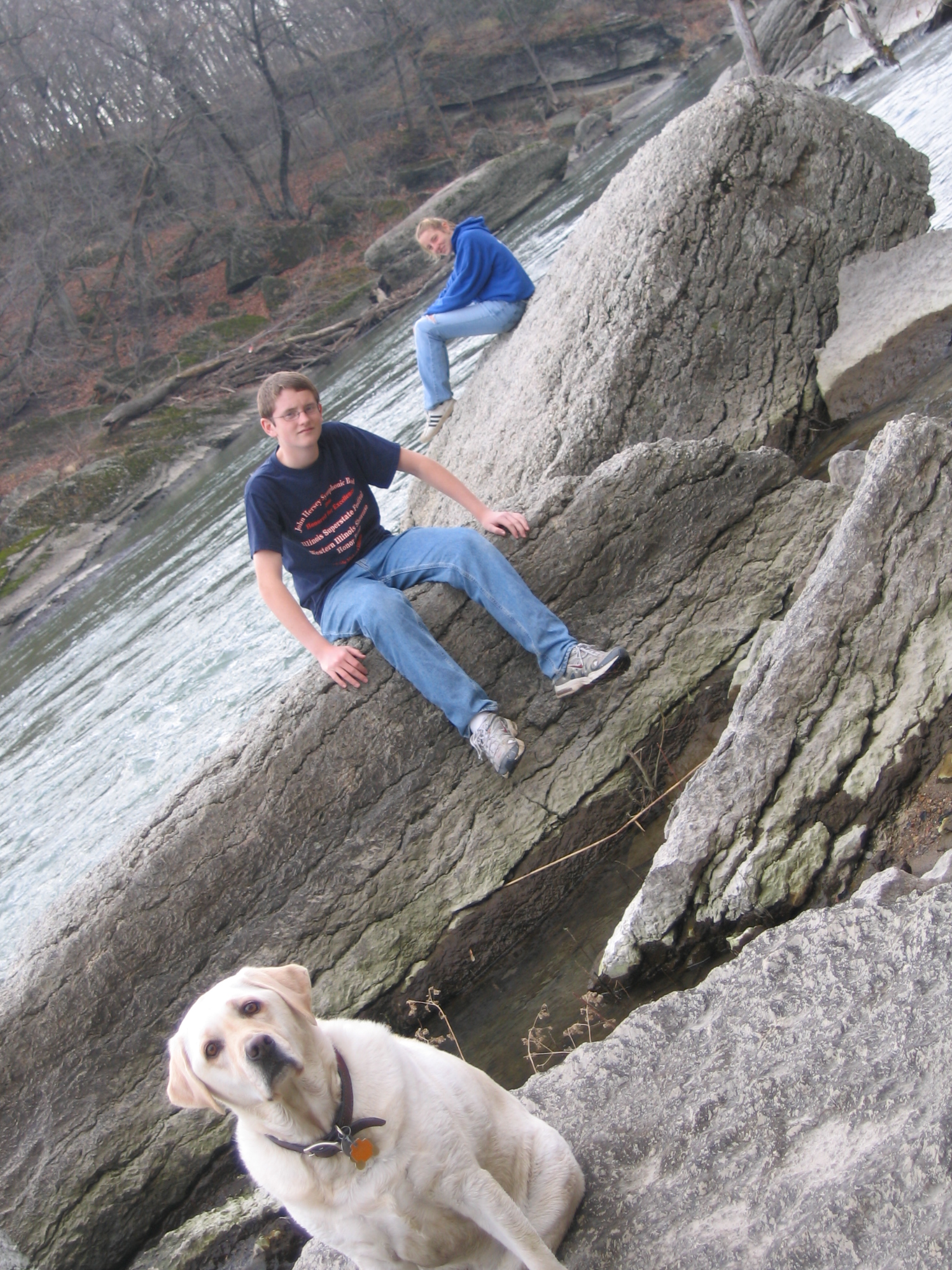 |
| Searching for Bailey's Falls, 2005 |
In the days before smart phones, I heard about a waterfall on a tributary of the Vermilion River near Matthiessen State Park. My inner explorer was intrigued. Waterfalls are pretty rare in Illinois. Discovering a waterfall would be epic. Starting online, I found mentions of a Bailey's Falls located on land owned by a local quarry/cement company. From the satellite view, the property was densely forested, crisscrossed by trails and appeared mostly abandoned.
"I've got to find this place," I thought.
 |
| The moonscape of quarry tailings, 2006 |
Using the excuse "it's a family adventure," I made several attempts with my wife and kids to find Bailey's Falls. We tried by land, hiking cross-country from Matthiessen State Park. We tried by sea, renting rafts from Vermilion River Rafting and hiking up Bailey's Creek from its confluence with the Vermilion. Each time we were turned back by dense forest and dead-end trails.
 |
| Bailey's Falls at last! |
On the fourth or fifth attempt, we solved the maze and found ourselves at the edge of, by Illinois standards, a spectacular waterfall. When the water levels are high, Bailey's Falls is worth the effort with a pretty horseshoe shape and a 25-foot drop.
 |
| Route to Bailey's Falls, circa 2007 |
 |
| Look what I found |
Having conquered the challenge, I didn't return for many years. Fast forward to the summer of 2020. We were in the depths of the COVID pandemic and I was crawling out of my skin looking for something to do.
I learned the State of Illinois had purchased 2,629 acres of land from the cement company, Lone Star Industries. The newly acquired parcel included a scenic stretch of the Vermilion River, Bailey's Creek and the waterfall. Furthermore, the parcel linked Starved Rock State Park, Matthiessen State Park and the Margery Carlson Nature Preserve creating a combined area of 7,432 acres!
 |
| The LaSalle Purchase, a hyper-park? |
It then occurred to me that exploring the new parcel might be fun. I had discovered the route to Bailey's Falls from Matthiessen State Park, but I had never explored the rest of the area. By this time, phone navigation apps were available, so I set out to map the entire 2,600 acre parcel.
Over the pandemic summer of 2020, I made many trips to the parcel with my new mountain bike to map every feature and trail. The IDNR had posted No Trespassing signs, so I was careful to go on weekdays when no one was likely to be there or likely to care. I figured, "Hey. it's public land. The public should be enjoying it."
 |
| Southern Gate |
 |
| Frisbie Ridge |
North of the Vermilion River I found a landscape of rock tailings. Long ridges of loose rock riddled with gullies cut by rainfall. I recalled the moonscape appearance from my visits some 14 years earlier, but now tall weedy plants had managed to take hold. The quarry itself was filled with water -- deep, blue and clear. It looked inviting, but the shoreline looked treacherous with thick soft wet clay. "Someday this will be a very pretty lake," I thought.
 | ||
Bully Lake
|

A jeep road circled the quarry and led to a bridge that linked the parcel to the cement company's main facilities north of the quarry. I pedaled quickly past the buildings hoping to go unnoticed. Continuing my exhaustive search, I found myself riding a narrow path under a thick canopy of dense trees. At the end of which, I found a lodge-like building and some deer stands. A dilapidated sign read "LONE STAR EMPLOYEE ARCHERY RANGE." Later that same day I found a fishing pier and boat ramp on a small lake. Apparently Lone Star opened parts of the land for employee recreation.
 |
Archery Range |
 |
| Mona Lake |
The jeep road also led to an abandoned bridge across the Vermilion River connecting to the southern half of the parcel. I was familiar with this bridge from my earlier expeditions to Bailey's Falls. Crossing the bridge, the trails divided into a maze. I now realized these were the remnants of an ATV trail system probably also used by Lone Star employees.
 | ||
Bridge over the Vermilion River
|

Again, I explored every path to it's end. Sometimes this made for some exciting mountain biking. Other times it was simply walking through deep mud and dense undergrowth.

 |
| Wildcat Rapids |
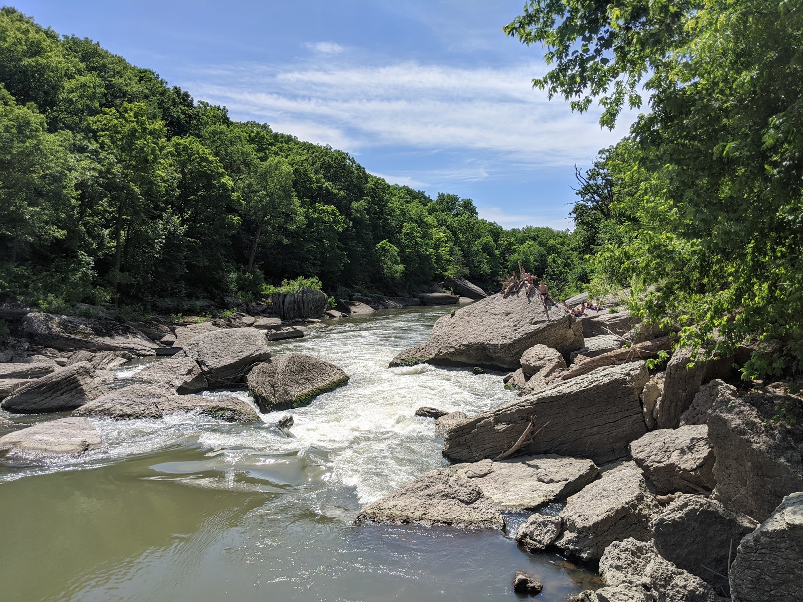 |
| Local kids enjoying Wildcat Rapids |
At some point, I returned to Bailey's Falls to find a group of high school kids jumping off the falls into the pool below. They eyed me with suspicion until I engaged them in small talk.
"Where did you come from?" they eventually asked.
"From the state park's river area entrance. How did you get here?" I responded.
"That trail right there," they replied pointing to a path.
And what do you know, there above the falls and across the creek was a break in the bushes.
 |
| Backdoor Trail |
"Ahh, the best explores aren't afraid to ask the natives for directions," I thought to myself. I thanked the kids and walked my bike across the creek and up the other side. Once on level ground, I jumped back on and rode the social trail until it dumped me off onto a lonely county road south of the parcel. There I saw a couple parked cars and scattered beer cans. I guess this is where kids from Ogelsby, IL go to have a good time.
Following the footsteps of the great explorers before me, I documented and named the geographic features I discovered. Admittedly, the place names echo my family tree:
- Mona Lake
- Jordan Pond
- Frisbie Ridge Trail
- Bully Lake
- #bridgie Trail
- Matt's Swimming Hole
- Jeff's Crossing, Not (a washed out culvert)
- Matt's Backdoor Trail
- Laffing Bluff
 |
| Northern Map |
 |
| Southern Map |
 |
| Laffing Bluff |
 |
| Lone Star Trail |
 |
| Old car in Bailey's Creek |
 |
| Jordan Pond |
 |
| Chillin' in Matt's Swimming Hole |
It was a grand adventure. The whole time I explored, aside from the local kids and one biology field tech, I never saw another soul. On my last expedition, I arrived early on the Friday before July 4th. By now I knew my way around and used the day to ride the better trails for fun and take more photographs. Cruising back to the car without a care, I zipped through the path in a dense hedge that bypassed the state park gate and nearly ran into the rear bumper of a Illinois Conservation Police pickup truck.
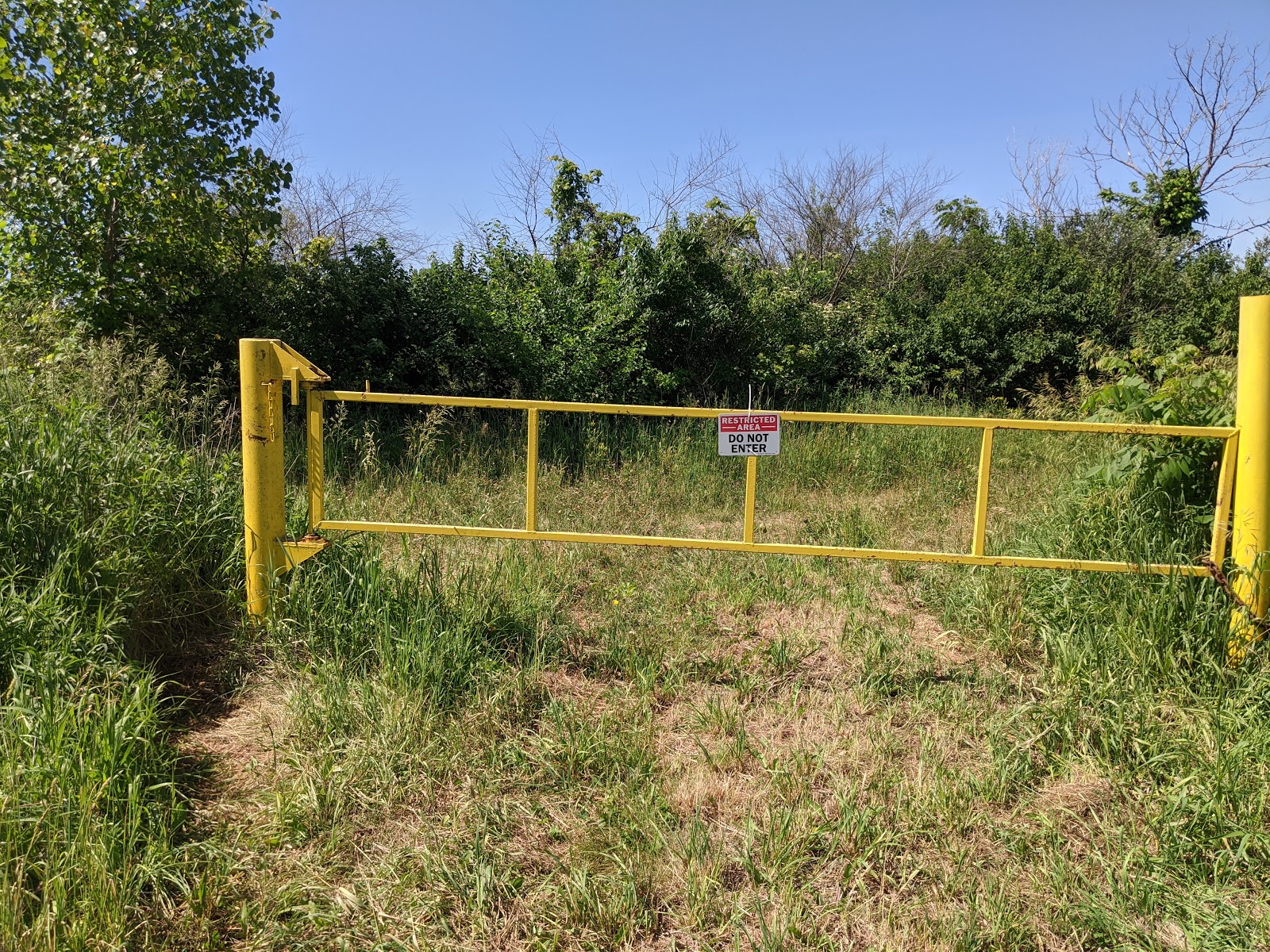 |
| Yellow Gate |
 |
| Busted! |
He was there to prevent visitors from wandering onto the new parcel during the holiday weekend and I didn't realize Friday was the extra day off. Everyone kinda hates mountain bikers, so when I came blasting out of the bushes in full biking regalia right by the No Trespassing sign I didn't make a sympathetic character. Fifteen minutes later I was the proud recipient of a $195 trespassing ticket.
Some months later, I got involved with a Sierra Club group seeking to address the COVID overcrowding at the state parks, especially Starved Rock State Park. The answer was obvious. Open the new parcel to visitors. The idea had merit. The new parcel was easily accessible from the Matthiessen State Park's parking and picnic areas. With a little clean-up, a viable trail system already existed. I presented my ideas to the club and forwarded it to the IDNR.
Presentation sent to IDNR
My brother even wrote an editorial in the Chicago Sun-Times supporting the idea. I never got a response.
 |
| Chicago Sun-Times Editorial |
As of 2024, nothing has changed except the parcel has been opened up to seasonal deer hunting. For a budding explorer, it's still uncharted territory. Enjoy, explore, protect -- at your own risk.
| State: | Illinois |
| Date: | Summer of 2020 |
| Route: | Various trails and paths in the LaSalle Purchase |
| Distance: | 15 miles |