Thursday, October 31, 2013

Virginia, New River Trail

Great Smoky Mountains Road Trip -- Day 5:  After a quick morning ride in South Carolina, I am at Foster Falls access point on the New River Trail, Virginia.

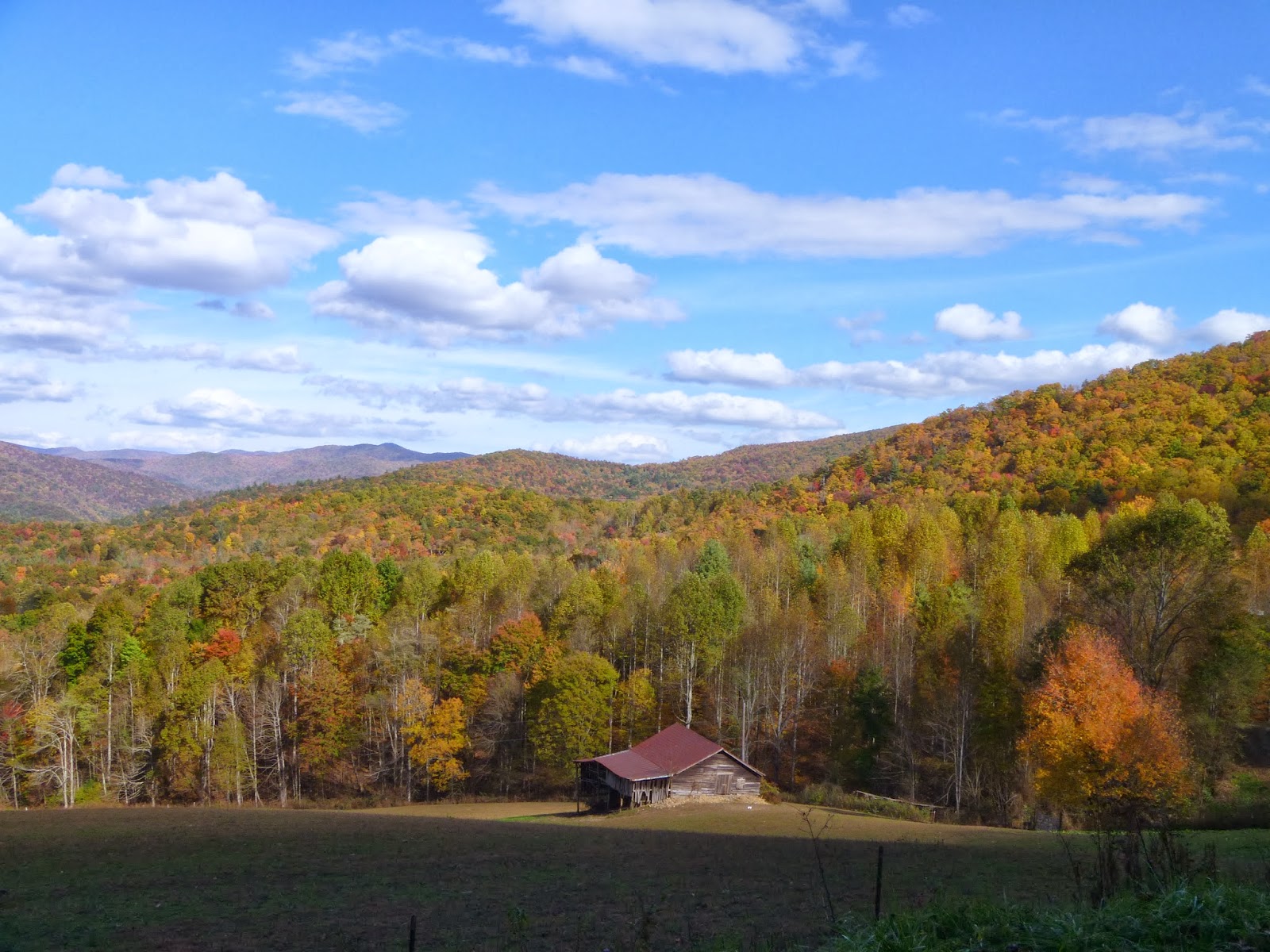
Foster Falls and Park HQ

New River Trail is a 57-mile linear park that follows an abandoned railroad right-of-way. The park parallels the scenic New River for most of the way.  It features two tunnels, three major bridges.

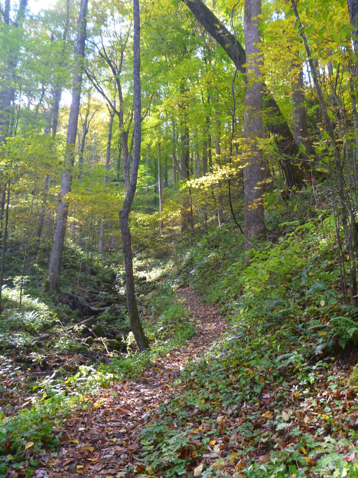
Nicely graded crushed gravel
This is fantastic trail and I can't believe I only am riding for a few hours.

One of the trail's two tunnels
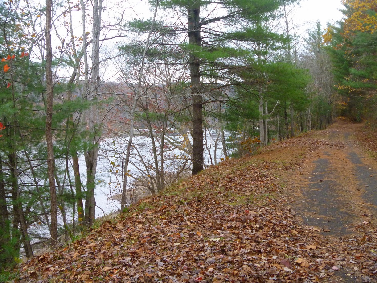

The New River


Byllesby Dam

The perfect spot for lunch


White-tailed deer!


200 year-old shot tower


The Family Truckster

Trail Map


My route
Next stop, West Virginia.

State:Virginia
Date:2013-10-31
Route:New River Trail
Distance:27 miles, Foster Falls to Byllesby Dam

South Carolina, Swamp Rabbit Trail

Great Smoky Mountains Road Trip -- Day 5:  After yesterday's hike to Mt. Sterling, I wake up in Travelers Rest, a village on the outskirts of Greenville, South Carolina and just across the street from the Swamp Rabbit Trail.  Today is another two-fer as I plan to ride to downtown Greenville and then drive north to Virginia to bike the New River Trail.

... a train
The "Swamp Rabbit" was the nickname given to the shortline railroad that preceded the bike trail.  A failed business venture, only 15 of the planned 282 miles of track were laid -- echoes of the old sitcom, "Petticoat Junction."  It seems its current incarnation as a bike trail is more successful.  In 2013, the mayor said that the trail had "been phenomenal for the whole county, but more so for us in Travelers Rest. I can't begin to tell you how much of an economic boost it's been to this town."

A ghost bike memorial to bicyclists killed on local roads

Like any rails-to-trails, the path is straight and flat.  With a nice blacktop surface, I'll be in Greenville before you can say "And that's Uncle Joe, he's a movin' kind of slow." 


The Swamp Rabbit -- wide and well-paved trail

How to perform an endo
In the center of Greenville, I find Fall's Park, a picturesque waterfall, and a attractive suspension bridge.

Reedy River Falls
Curved suspension bridge over the Reedy River

Greenville's Falls Park
I explore the trail for bit past the park, but I have more riding to do in Virginia so I snap a few photos and head back to the car. 

State:South Carolina
Date:2013-10-31
Route:Swamp Rabbit Trail
Distance:20 miles

Tuesday, October 29, 2013

Tennessee / North Carolina, Great Smoky Mountains National Park

Great Smoky Mountains Road Trip -- Day 3:  Less than a 30 minute drive from the I-40 is the Great Smoky Mountain National Park's Cosby Campground.  Most visitors drive father south to Gatlinburg and Clingmans Dome, enduring several miles of tourist traps and a traffic clogged route through the park.  Here at the north end of America's most visited park, you have all the wilderness beauty without the crowds and nonsense.


Skip the crowds at the GSMNP's north end
Primary for tent camping, the Cosby Campground offers flush toilets and drinking water with 42 reservable sites and 115 sites available first-come, first-serve.  It has easy access to a number of great hiking trails including the Appalachian Trail, just three miles away via the Lower Gap Trail.

After a 4+ hour drive from Daniel Boone N.F., I pull into the deserted campground with my choice of sites.  The early dusk of late October gathers as I set up my tent in the last loop.  The weather looks great for the next few days.  Stoked!

After quick breakfast, I start my ride by gliding downhill 2.5 miles to the park entrance.  Turning right, as I start on the TN-32, I'm a little nervous.  The road, while nicely paved, has no shoulders and a lot of blind turns.  My guess is local drivers are not expecting bikers on a late-fall weekday.


Boundary Road -- no shoulder, but no traffic either
My fears are unfounded as I discover there is no traffic -- this is a road to nowhere eventually transitioning to a gravel forest road.  My wariness turns to rapture as I wind through the hardwood forest glowing autumn colors.

A turkey!

Crosby Creek


Boundary Road

This is one of the best routes of my Frizbo Fifty. Not only do I get to ride in the Smokey Mountains, but I'm checking off both Tennessee and North Carolina on the same day.  At the state line, I cross the famous Appalachian Trail (the "AT") which runs from Georgia to Maine.  I'll save that for another day.


Appalachian Trail X-ing

The "AT"
From the AT crossing, the boundary road descends sharply to Waterville Road and then climbs to Mt. Sterling. 

The valley before the climb to Mt. Sterling

Cows!

Mt. Sterling Road is well-packed gravel

Nice!
No, it's real.  I did not "shop" this photo!

Picture post card

The short-cut to Mt. Sterling

There are two trails to Mt. Sterling, you can drive up most of the way on Mt. Sterling Road and hike just the ridge 2.3 miles.  Or you can start at the Big Creek and hike 6 miles to the top -- which is tomorrow's itinerary.  But now I'm at the halfway point and it's time for lunch.

Mountain-cold


On the way down Mt. Sterling Road, I stop to chat with some motorcyclists on their way up.  They seem suitably impressed I got there on a bicycle.


An elk!

A bug!


On boundary road again, I'm hitting the wall.  Just then the motorcyclists come by and give me a big wave.  I put on a show by pedaling hard as they power by.


Finally I get to the campground road.  "Just 2.5 miles to go," I think.  But it's 700 feet straight up.  Gassed, I have to pull over about halfway up.  That's OK, because I have Dinty Moore Beef Stew and cold beer waiting for me at the camp site.


Poor man's TV

My own private campground

Cosby Campground

Day 2, Hike to Mt. Sterling
On my second morning in the Smokies, I drive over to the Baxter Creek Trail Head (aka Big Creek) and start the climb on foot to Mt. Sterling. 


Mt. Sterling Trail

Forest floor or your new desktop wallpaper?

Hiking in the tunnel

One of the few remaining fire towers in GSMNP
Like most of the Appalachians, you rarely can see anything from the tree-covered mountain tops.  AT through-hikers refer to this phenomenon as "hiking in the green tunnel."  Fortunately, at the summit of Mt. Sterling is one of the few remaining fire towers in the park.  Open to the public, I climb up stairs to view dramatic panorama.


View from the fire tower

Just below the platform

If they don't take it down, it'll fall on its own
A fellow hiker informs me that the park service is tearing down the tower the next summer -- one of the last in the park.  Too bad.
View from the fire tower

Another cool bug!
GSMNP route

State:Tennessee & North Carolina
Date:2013-10-29
Route:Park boundary road from Cosby Campground to Mt. Sterling Ridge Trail
Distance:40 miles, +/- 5,500 ft.