 |
| Skip the crowds at the GSMNP's north end |
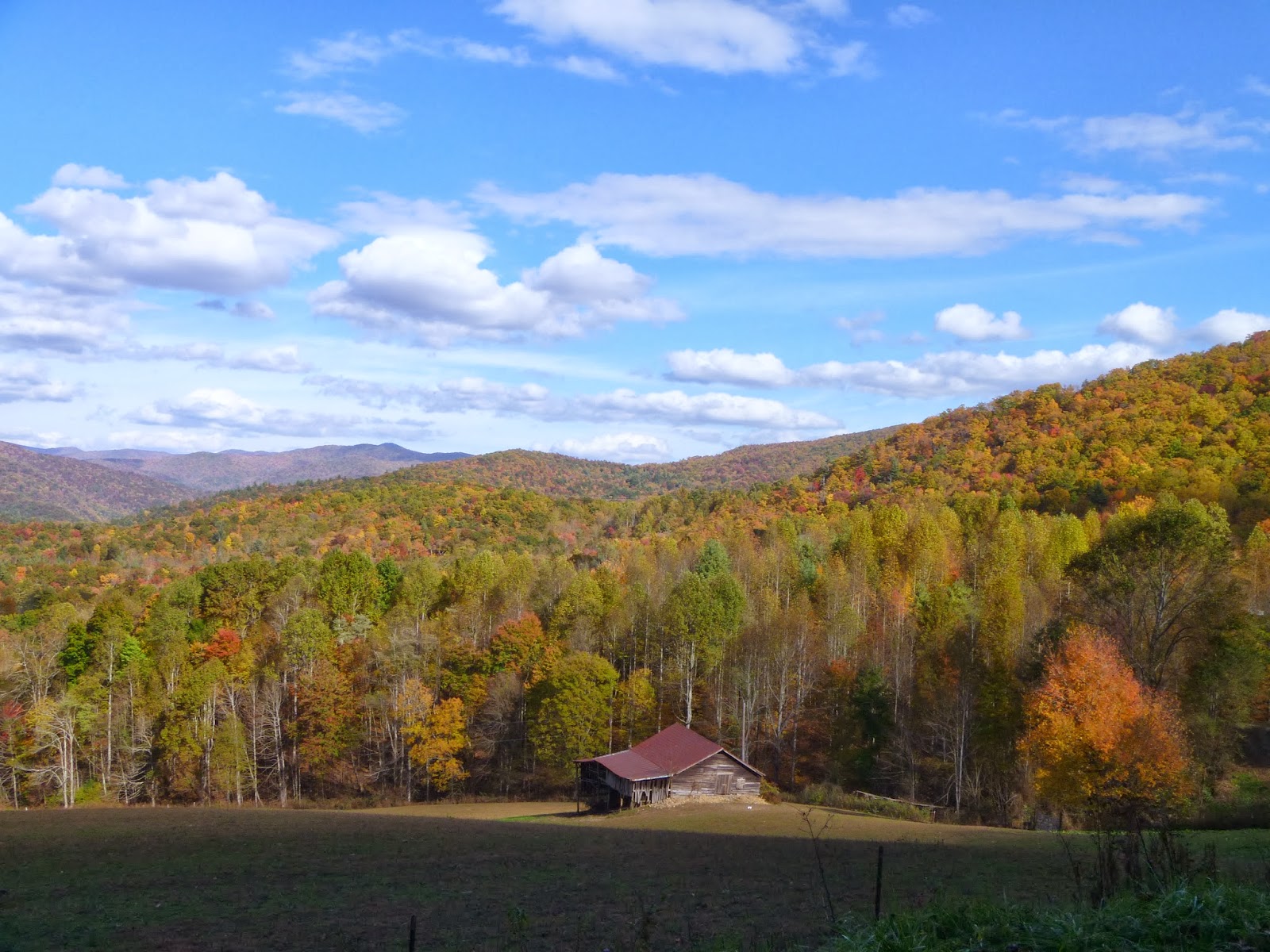
After a 4+ hour drive from Daniel Boone N.F., I pull into the deserted campground with my choice of sites. The early dusk of late October gathers as I set up my tent in the last loop. The weather looks great for the next few days. Stoked!
After quick breakfast, I start my ride by gliding downhill 2.5 miles to the park entrance. Turning right, as I start on the TN-32, I'm a little nervous. The road, while nicely paved, has no shoulders and a lot of blind turns. My guess is local drivers are not expecting bikers on a late-fall weekday.
 |
| Boundary Road -- no shoulder, but no traffic either |
 |
| A turkey! |
 |
| Crosby Creek |
 |
| Boundary Road |
This is one of the best routes of my Frizbo Fifty. Not only do I get to ride in the Smokey Mountains, but I'm checking off both Tennessee and North Carolina on the same day. At the state line, I cross the famous Appalachian Trail (the "AT") which runs from Georgia to Maine. I'll save that for another day.
 |
| Appalachian Trail X-ing |
 |
| The "AT" |
 |
| The valley before the climb to Mt. Sterling |
 |
| Cows! |
 |
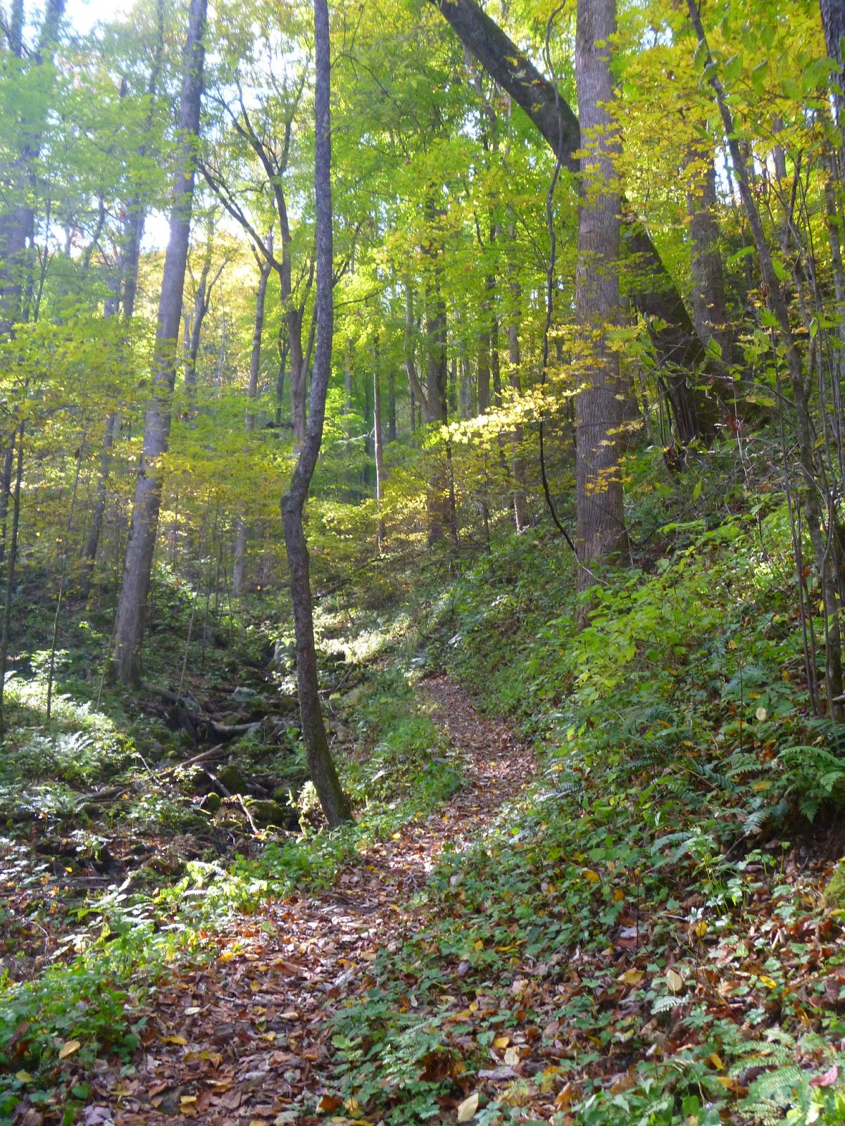
| Mt. Sterling Road is well-packed gravel |
 |
| Nice! |
 |
| No, it's real. I did not "shop" this photo! |
 |
| Picture post card |
 |
| The short-cut to Mt. Sterling |
There are two trails to Mt. Sterling, you can drive up most of the way on Mt. Sterling Road and hike just the ridge 2.3 miles. Or you can start at the Big Creek and hike 6 miles to the top -- which is tomorrow's itinerary. But now I'm at the halfway point and it's time for lunch.
 |
| Mountain-cold |

On the way down Mt. Sterling Road, I stop to chat with some motorcyclists on their way up. They seem suitably impressed I got there on a bicycle.
 |
| An elk! |
 |
| A bug! |

On boundary road again, I'm hitting the wall. Just then the motorcyclists come by and give me a big wave. I put on a show by pedaling hard as they power by.

Finally I get to the campground road. "Just 2.5 miles to go," I think. But it's 700 feet straight up. Gassed, I have to pull over about halfway up. That's OK, because I have Dinty Moore Beef Stew and cold beer waiting for me at the camp site.
 |
| Poor man's TV |
 |
| My own private campground |
 |
| Cosby Campground |
 |
| Day 2, Hike to Mt. Sterling |

 |
| Mt. Sterling Trail |

 |
| Forest floor or your new desktop wallpaper? |
 |
| Hiking in the tunnel |
 |
| One of the few remaining fire towers in GSMNP |
 |
| View from the fire tower |
 |
| Just below the platform |
 |
| If they don't take it down, it'll fall on its own |
 |
| View from the fire tower |
 |
| Another cool bug! |
 |
| GSMNP route |
| State: | Tennessee & North Carolina |
| Date: | 2013-10-29 |
| Route: | Park boundary road from Cosby Campground to Mt. Sterling Ridge Trail |
| Distance: | 40 miles, +/- 5,500 ft. |