Showing posts with label Ride. Show all posts

Sunday, April 10, 2022

Kentucky, Mammoth Cave

Cloudland Tour, Day 1

Winter is almost over in Chicago. Somewhere south Spring has arrived. Time for a road trip!

Perhaps troubled by fact the I had only ridden the minimum of ten miles in Georgia, this road trip's destination was Cloudland Canyon State Park in northern Georgia with stops in Indiana, Kentucky, and Tennessee (I needn't have worried as I bike would return to Georgia in the fall).


PLS: Muscatatuck NWR, Wood Duck Trail (4 miles)

After a stretch-the-legs ride and lunch in Indiana. I arrive at Mammoth Cave National Park. 

Most visitors head straight to the cave tours. It is the longest known cave system in the world. But Mammoth Cave has more than just caves. On the surface, the park features 70 miles of hiking trails on 52,000 acres, 25 miles of paddling on the Green River as well as 10 miles of single track.

It's still early when I park at my campsite, so I immediately unload my 29er hardtail and head out. The mountain bike trails are on the other side of the Green River. The Green River has no bridge. Instead it operates a ferry until 6pm. Should be plenty of time to get some mountain biking in.

Green River ferry 

Ferry lean


Mammoth Cave NP has some nice single track


But the concrete picnic tables are the worst

We camped here once before when the kids were little. The kids found a strange albino grasshopper hopping around the campsite. It wasn't until years later that I realized the grasshopper had wandered out of the cave system as cave inhabitants are often albinos.


O'Hara's Nitro Stout paired with homemade spaghetti

Bike route through Mammoth Cave N.P.

Next stop, Prentice Cooper State Forest.

State: Kentucky
Date: 2022-04-10
Route: Mammoth Case NP: Campground to Big Hollow North Loop mountain bike trail
Distance: 12 miles

Saturday, July 31, 2021

RAGBRAI 2021, Iowa

Ride Across Iowa, Mardi Gras on Wheels

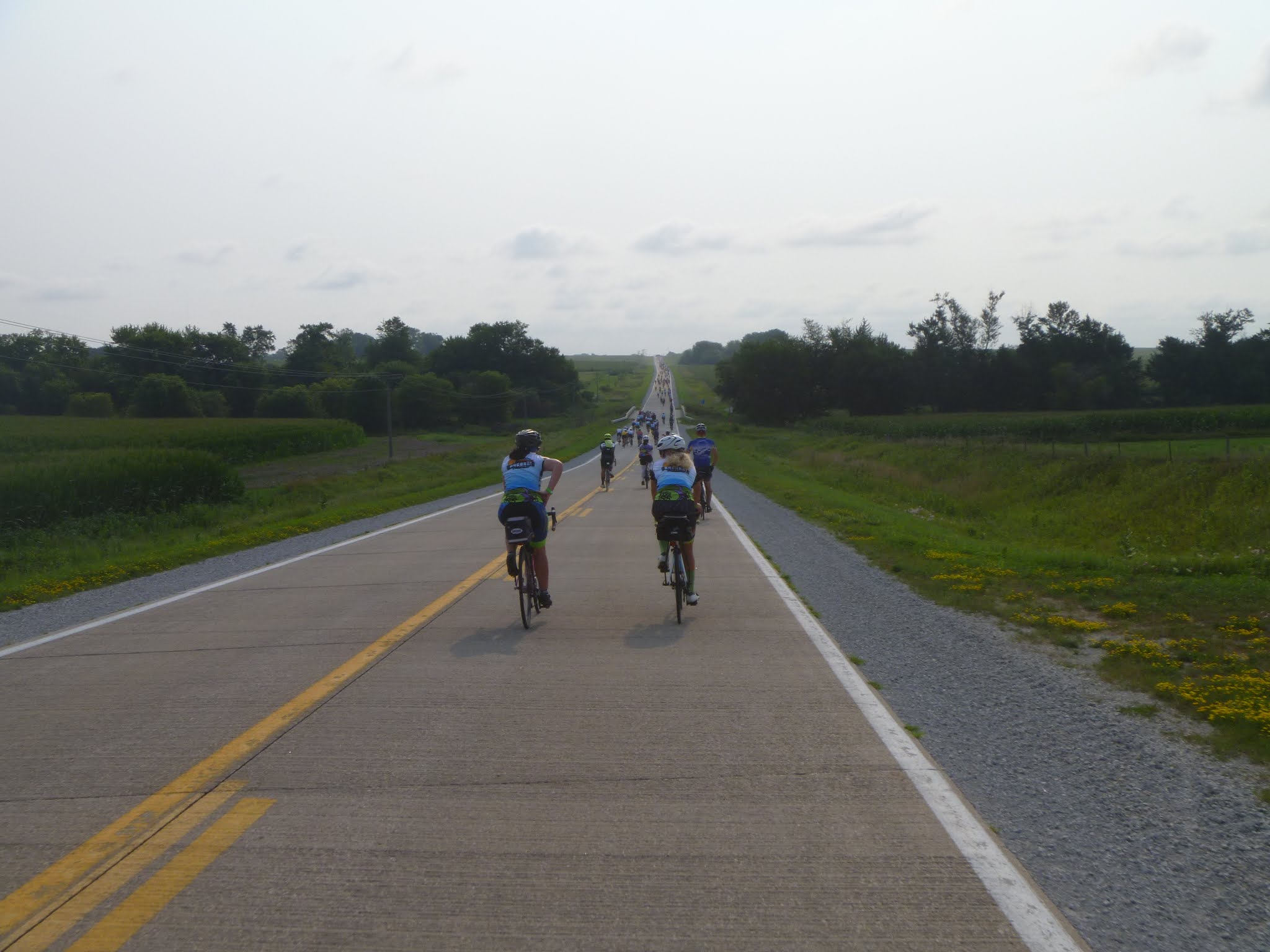
I heard my cousin Kathy and her husband Jerry were riding the Register's Annual Great Bike Ride Across Iowa (RAGBRAI).  The RAGBRAI is a bike ride like no other.  Thousands of bikers ride for a week from the Missouri River, along the Iowa's byways and small towns, to the Mississippi River.  I'd always wanted to ride the RAGBRAI, but it usually conflicted with my annual service trip to Denali National Park the last week of July.  This year I wasn't doing the service trip so I was free.  I sent Kathy an email asking about the ride and secretly hoped she'd invite me to join them.  She emailed me back the same morning with details on registration, shuttles and an invitation.  "We have 5 friends from AZ we’re meeting. It would be great if you join us. We all camp together each night."

"Sounds good, I'll meet you in Clinton, IA," I responded.  Easier said than done.  Over the next 8 weeks, I had to buy a sold-out RAGBRAI registration on the secondary market, signup for a week-long parking spot, find a bus shuttle across Iowa, and, most importantly, log hundreds of training miles to toughen my butt for seven consecutive days of biking.

Weeks later, I arrived with my hard ass and bicycle along with 15,000 other bikers in Le Mars, IA.


15,000 bikes (where's mine?)

I was confident that I could ride the first day's distance, 84 miles and 2,816 feet of climb, but I worried about days 2-7.  Would I be able to bike that far day after day?  "I better take plenty of Vitamin I (Ibuprofen)," I thought.  I started the first day riding with Jerry, Kathy and the group from Arizona.  When the peloton of bikes crowded in on us, I got claustrophobic.  Ditching my team, I rode ahead looking for some breathing space.  

Jerry and Kathy

I arrived in the overnight town, Sac City, around 3pm, well ahead of my teammates and feeling pretty good about myself.  I took a break in front of the courthouse.  After twenty minutes or so, I got up to ride the last mile to the campground and, wham, I was hit with horrible leg cramps.  I staggered up and down the sidewalk trying to walk off the cramps for about five minutes.  

"Bike on!"

A young couple watched me with curiosity. "What's with this guy?"  An older biker nodded knowingly. "You OK?" he asked.

"I think so," I replied as the cramps were subsiding.  Soon I was able to walk fully upright and carefully I mounted my bike and rode to the campground -- an auspicious start ... NOT.

Camping wherever they can fit us

The first night's campground was a nice one along the Racoon River and just outside the county fairgrounds.  That evening I walked over to the fair grounds for the free concert.  Each overnight town would host a festival with beer tents and live music.  Mostly cover bands, the quality was uneven.  I did note that talent was inversely proportional to the number of costumes the band wore. 

Live music every night


Dolly Parton, Little Bo Peep, Gene Simmons, Surfer Dude = not very good


Other than some single-serving electrolyte drink mix, I didn't bring any food.  Rather, I was advised, bring plenty of cash in small denominations for the food vendors that greet you in every town and the various farms along the route.  RAGBRAI is a huge fund raiser for these small Iowa towns.  Many of the food stands are run by the locals with the proceeds going directly a church or 4H club.

Ribeye for breakfast!

And the food was fantastic.  Some of my favorites were: porkchop-on-a-stick; toasted cheese with bacon and tomato; free corn-on-the-cob, pickle juice (prevents cramping) and my new favorite breakfast food: apple pie a la mode. Hey, it has all the vital food groups for breakfast -- grain, fruit, dairy, delicious!

RAGBRAI protein bar

100% Iowa Ingredients Breakfast Wrap (except salt and pepper)

Pancake breakfast only $5

Wood-fired pizza baked in a fire truck

Food wasn't the only thing you could buy on the side of the road.  There were plenty of beer stands as well.  Jerry assured me that you could work off a beer with 15 minutes of biking.  Despite his advice, I avoided drinking until I was within 15 miles of the campground.    


Tailwind, my new favorite beer

I did admire the younger generation that started drinking before 9am, aka "Drinkers with a Biking Problem."

Drinkers with a biking problem

Another surprise was how friendly everyone was.  On more than one occasion, when I was tired and needed a distraction I would cruise up to another biker, start up a conversation and before I knew it, the hills were climbed, the miles were ridden, and I was turning into the campground entrance.  The locals were very friendly too.  One woman let us shower in her apartment. 

The locals were very friendly

Friendly biker with a trailer playing some good tunes!

This local shared the history of Webster City

This family gave us water after we got lost on Gravel Day


This woman is a direct descendant (on her mother's side) of William Eddy,
the first rescuer to reach the stranded Donner Party


Two boyzz from Illinoiz on College Jersey Day!


Best costumes!

Chain Reaction Team:
Jerry, Donna (nice local who let us all use her shower),
Kathy, Tim, Sue, Patrick, Genie, Cindy, Pat


The nights were worse, 82 degrees at 3am


Where's Kathy?

Entering a host town -- time to eat some more pie!


The "Roadkill Bike Team" memorialized every carcass with beads -- I'm still not sure why.


Optional gravel day


Iowa commuter car

The "Cornfield" Photo


Bonjour, Papa!

RAGBRAI 2021 Route


State:Iowa
Date:2021-07-25 thru 2021-07-31
Route:La Mars, IA to Clinton, IA
Distance:450 miles

Thursday, October 1, 2020

Kansas, Cheyenne Bottoms Wildlife Area

New Mexico Tour, Day 7-8

From Dodge City, it's 13 hours to home. I could "smell the barn," but I had a couple of stops planned.


Dodge City Stock Yards at dawn

The first was Pawnee Rock, an historic site just southwest of Great Bend that marked the halfway point on the old Santa Fe Trail. I was the only person there on a quiet Thursday morning when I climbed the sandstone prominence. From the top, it was easy to imagine the bison herds and passing wagon trains of 150 years ago.

It is said that Pawnee Rock got its name when Kit Carson was on his first trip west at seventeen. While on guard duty, he shot his own mule thinking it was an attacking Pawnee. His associates commemorated his experience with the name, Pawnee Rock!

The view from Pawnee Rock, KS

My second stop was on the other side of Great Bend, the Cheyenne Bottoms Wildlife Area. A 28,000 acre wetland, the Cheyenne Bottoms is famous for birds. During spring and fall migration, tens of thousands of geese, ducks and shorebirds can be observed. The area is bisected by gravel roads, so I parked at the headquarters and circled the pools on my bike.


Cheyenne Bottoms


This poor snake was run over and breathing his last.


Cheyenne Bottoms Wildlife Area Bike Lean


Praying Mantis

No question -- there are a lot of birds here. There is also a nice free campground on the west side of the refuge. My best bird sighting was when I surprised a dozen pelicans. They rose off the water in dramatic flight just a few yards from me.


If you carefully review the wildlife area map, you'll see dozens of little circles in the water. Each of these is a duck blind. It's a killing field for migrating waterfowl!
 
Hennepin Canal Trail

From Great Bend, I just drove until I couldn't stand it any more -- which was a rest stop somewhere in Iowa. Sleeping at a rest stop on a cot in a minivan is lot better than sleeping in a car, but it is still not very restful -- too much activity and road noise. I'd had enough by 4am and got back on the road. After crossing the Illinois border, I was sleepy again so I pulled over for an at-dawn visit of the Hennepin Canal and another nap. Three hours later I was home and, after unpacking the van, I took another nap!
 

Bike Route: Cheyenne Bottoms

Route Summary:

  • State: Kansas
  • Date: 2020-10-01
  • Route: From HQ and around Pool 1
  • Distance: 12 miles

Wednesday, September 30, 2020

New Mexico, Carson National Forest, South Boundary Trail

New Mexico Tour, Day 6

At last I had arrived at the goal of this trip, the Carson National Forest in New Mexico.  Just outside on Angle Fire, NM, I had identified a remote forest road reputed to have really nice dispersed camping.  Dispersed camping is at-large camping in the National Forest outside of designated campgrounds.  No fees or reservations required, you simply pull off the forest road and set up camp.  In practical terms, these campsites are well-established by frequent use.  Look for the well-worn tire tracks from the forest road.  You will typically find a nice parking spot, a fire ring, a comfortable log to sit on and maybe even some leftover wood from the previous camper.  Dispersed camping appeals to the self-sufficient because you won't find amenities such as water, toilets or garbage cans.  

I turned off US-64 and onto Forest Rd 5 -- a dead-end valley with an elevation of 9,000 feet.  Yes, there were a lot of nice campsites here along a pretty mountain creek!  I skipped past the first few open campsites so as to avoid getting crowded by late arrivals and found a perfect spot for my minivan bubble.


Dispersed camping, Carson National Forest

The valley was in shadow when I arrived, but the leaves of the aspens on the upper slopes glowed yellow in the last afternoon sun.

Future album cover art

Despite the higher elevation, the air temperature didn't seem as cold as the rim of Palo Duro Canyon.  I wasn't worried either way as I crawled into my new double sleeping bag arrangement.  "Best $20 I ever spent."

Climbing the forest road

In the morning I woke to another day of fantastic fall weather.  I drove a quick five miles to Forest Road 437.  My eventual goal was the famous South Boundary Trail, but to get to the trailhead I needed to climb 1,600 feet.  My research indicated that the FR 437 was only passable by high-clearance vehicles, so I parked the Family Truckster on the shoulder and started the slow grind uphill.  Later I was passed by a sedan so it might have been doable in the minivan, but the forest road was well packed and the views were spectacular.

Fall in the New Mexico's Fernando Mountains


South Boundary Trail


After an hour or so of climbing, I arrived at "Heaven on Earth"  -- the name for this segment of the South Boundary Trail.  The singletrack trail did not disappoint -- flowy and tight gliding through the aspens and pine trees.


The perfect spot for lunch


"Heaven on Earth"

My planned route turned out to be enormously ambitious.  I had mapped out a loop to the top of Osha Pass and then down FR 70 to the van.  Halfway across the South Boundary Trail I realized that this route would be very difficult and very risky because at some point you will be committed to finishing the loop regardless difficulty.  Getting lost in Carson National Forest at 10,000 feet in the autumn did not seem a risk I should take.  Instead I turned around and headed back the way I came.  Regardless, the ride was the highlight of the trip and well worth the effort to get here. 

Eastern Colorado makes Nebraska look like Times Square

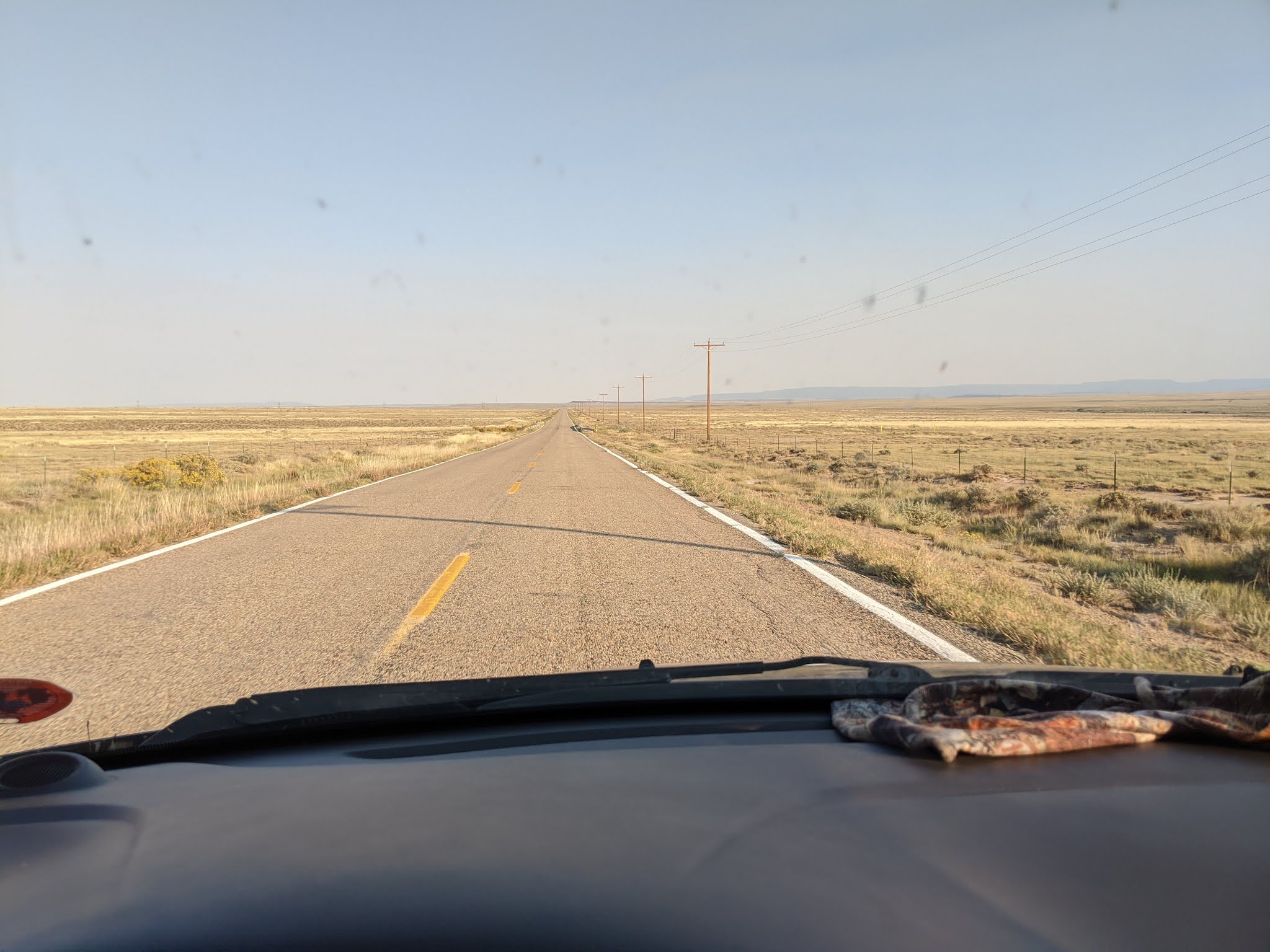
I drove out of the mountains through Cimarron Canyon on the Enchanted Circle Scenic Byway.  Sadly I did not have time stop and soon I was eastbound on US-160 and gazing at Colorado's remote eastern high plains.  Since leaving the interstate in Trinidad, CO, the infrequent cars had dwindled to nothing.  I was now totally alone.  I checked my gas gauge.  "Do I have enough gas?"  I considered turning back the safety of the interstate.  "No, just keep going.  There's gotta be gas station eventually!"

I spied my first Pronghorn Antelope peering over the barbed-wire fence that bordered the road.  A while later, I watched another Pronghorn gracefully jump the fence, cross the highway and effortlessly jump the fence on the far side.  "Cool!"

Aside from a filling station, I had no destination in mind.  After living in the van for six days, a hot shower and soft bed was pretty appealing.  But endless landscape was mesmerizing.  "I wish I could find a place to camp here," I thought.  I studied the gravel roads that intersected with the highway.  They had cattle crossings, the open grates across the road, and signage with a ranch name.  

"Are these public roads?" I wondered.  I didn't want to blindly wander down a road and meet an angry rancher with a long gun.  Indecisive, I just kept going.  In retrospect, I made a mistake as I unknowingly drove right past the Comanche National Grassland, arg!

After 120 miles of nothing, I found a gas station in Springfield, CO where I got enough fuel to get me to a hot shower and soft bed in Dodge City, KS.

Route: Carson National Forest


State: New Mexico
Date: 2020-09-30
Route: Vale Escondido, FR 437 and SBT 164 (about half of "Heaven on Earth")
Distance: 22 miles